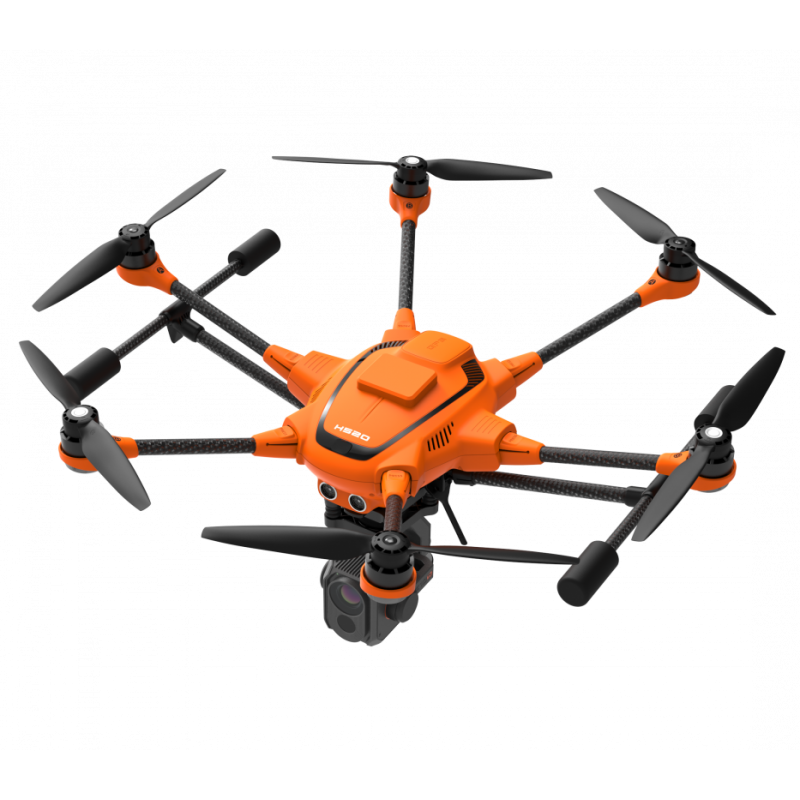

Even in high-wind environments, the Yuneec H520 sUAS system is able to hold position, allowing the solution to fly even when a manned inspection would be deemed unsafe. Exclusive flight speed control offers slowest speed above stall flight for maximum precision in challenging environments. H520’s landing gear retracts out of the way to give you a full, 360° view of the world to capture important data in the field. Also Commercial, comprehensive service packages are available separately.

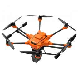
Even in high-wind environments, the Yuneec H520 sUAS system is able to hold position, allowing the solution to fly even when a manned inspection would be deemed unsafe. Exclusive flight speed control offers slowest speed above stall flight for maximum precision in challenging environments. H520’s landing gear retracts out of the way to give you a full, 360° view of the world to capture important data in the field. Also Commercial, comprehensive service packages are available separately.